By Maurizio Di Paolo Emilio | Wednesday, October 6, 2021
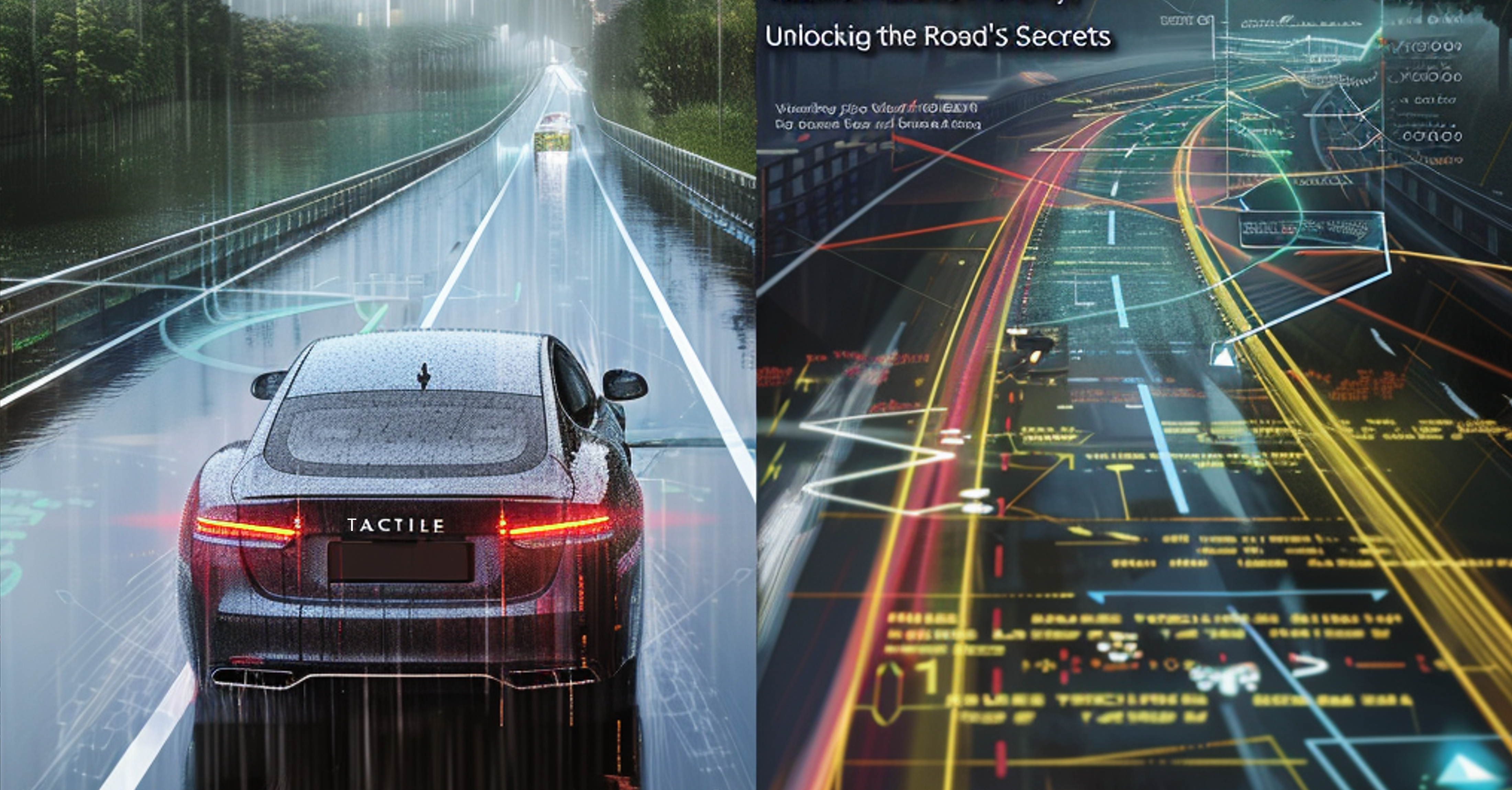
To fulfill this challenging task, Israel-based company Tactile Mobility has developed a software technology based on a high-resolution tactile-sensing and data analytics platform that aims to empower the future of autonomous vehicles and smart cities. Tactile Mobility’s technology platform includes two advanced software modules, which can be provided as standalone solutions or combined to deploy a complete high-end solution. As shown in Figure 1, the first module is an in-vehicle embedded software, while the second one is a cloud module.
The Tactile Sensing in-vehicle embedded software resides on one of the vehicle’s already existing electronic control units (ECUs). This module runs proprietary algorithms (including artificial-intelligence capabilities) that produce real-time detailed insights about the vehicle-road dynamics based on the processing of raw data collected from multiple, existing, non-visual sensors (including engine RPM, torque of the brake paddle, wheel speed detected from all four wheels, wheel angle, position of the gas paddle, and more). For research, development, and demonstrations, the Tactile Sensing software can be provided through a proprietary aftermarket device connected to the vehicle’s CAN bus through the OBDII diagnostic interface.
The Tactile Sensing software uses signal-processing algorithms to remove the noise components from the acquired data, providing a clean signal that can be processed using proprietary algorithms and AI techniques. This allows the creation of what Tactile Mobility calls “virtual sensors.” Data acquired by virtual sensors, which include grip level, vehicle weight, engine efficiency, and tire health, can be further used by different vehicle functions, providing useful and better driving aids, as well as situation awareness.
“Our technology is essentially software only and includes very advanced signal-processing and machine-learning algorithms that generate many different virtual sensors,” said Yagil Tzur, VP of products at Tactile Mobility. “Our sensors act as real hardware sensors — they can send messages on the CAN bus using their own allocated addresses, they have certain values and ranges, and so on. Moreover, our solution is highly scalable, so we can add more and more virtual sensors on the same infrastructure.”
Datasets collected by each vehicle are uploaded to the cloud for further analysis and processing by Big Data and machine learning. This, in turn, feeds and updates two distinct mathematical models that highlight the critical factors related to both vehicle and road dynamics. The first model, VehicleDNA, deals with the virtual sensors associated with the vehicle, such as engine efficiency, braking efficiency, tire health, weight, fuel consumption, and more. At the same time, there are sensors that collect data from the real world, from the environment, and from the surface, which lie outside of the vehicle. These sensors feed the second mathematical model, SurfaceDNA, which not only analyzes the typical physical road features such as grades, banking, curvature, normalized grip levels, and location of hazards like bumps, cracks, and potholes but also functional aspects such as how the grip is affected by weather, what the impact of a pothole is, and more. This data is then downloaded to the enabled vehicles approaching the same area, thus improving safety and user experience and reducing reaction time. SurfaceDNA also provides valuable and up-to-date information to third parties, such as municipalities, road authorities, insurance companies, fleet managers, and more.
“We provide all of these capabilities at the software level, which implies a lower cost compared with the more expensive hardware sensors,” said Tzur. “In some cases, there are no physical sensors that can provide the data that Tactile Mobility’s virtual sensors can. For example, there is no hardware sensor that can measure the grip, which is a unique capability of Tactile Mobility.”
The city of Detroit’s Department of Public Works chose Tactile Mobile’s platform to support its preventative and ad-hoc maintenance planning, providing roadway surface data in a timely, objective, and effective way. More precisely, the Department needed a tool able to automatically provide a reliable and cost-effective pavement rating score on a 10-grade scale associated with the PASER scale (developed by the University of Wisconsin–Madison Transportation Information Center). The purpose was to rate each municipal road segment, including those in residential areas, which were not surveyed due to budget considerations. By using standard municipal vehicles equipped with Tactile Mobility’s software, the department was able to continuously monitor the quality of each road segment, providing a highly refreshed objective map of Detroit’s road conditions. The city will also be able to detect potentially hazardous areas (such as those with ice or puddles), transmitting the information to control centers that can alert drivers before they reach the affected zones.
Figure 2 shows a pavement rating map of Detroit, in which the pavement conditions have been rated (red = poor, orange = fair, and green = good) using Tactile Mobility’s platform. The system, installed on 20 vehicles of a partner carmaker, generates insights about vehicle-road dynamics, focusing on specific road attributes such as grades, banks and curvatures, and road conditions such as slipperiness and hazard location.
“Our software can support any number of cars, enabling us to take the data from these vehicles and generate map layers that are relevant to our different customers,” said Tzur. “For example, road authorities and municipalities need to know is what is happening in real time on the roads, and if it poses a safety risk. They want to look at the entire picture from time to time and know where the road is deteriorating faster, thus addressing the long-term and responsive maintenance.”
This solution provides very high-precision information on distresses, which becomes available in a very short time after their creation, enabling quick and low-cost repair without the need to close the road to perform an expensive service. Moreover, Tactile Mobility’s software has a very small footprint, meaning that it’s very efficient, does not need many powerful processing resources, and can be embedded on almost every existing ECU.
“We are already in production with BMW to embed Tactile Mobility’s software technology into the BMW Group’s next-generation vehicles,” said Tzur. “The data generated from these vehicles will accumulate very quickly, allowing us to provide insights on road conditions to make the roads safer and better-maintained. The insights gleaned provide end-to-end value to not only passengers and carmakers but also to the organizations responsible for road construction and maintenance.”
Posted Originally in: EE WEB
https://www.eeweb.com/how-to-maximize-road-safety-and-efficiency-with-tactility-sensing-solutions/


