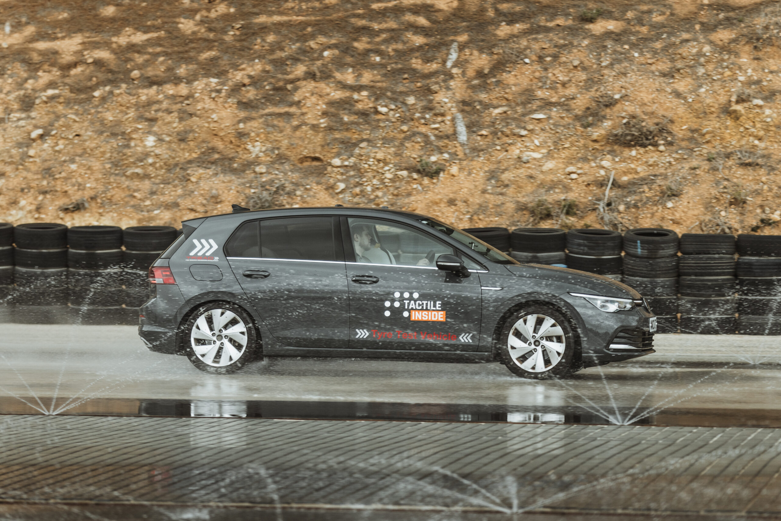
Tactile Mobility, the leading tactile data and virtual sensing technology company for the automotive industry, municipalities and road authorities, insurance industry and more, launched the world’s first nationwide tactile data gathering project in partnership with Union Motors, the official importer of Toyota in Israel. Tactile Mobility’s tactile sensing and data technology will be installed in hundreds of Toyota vehicles across Israel to collect road data in real-time, enabling unmatched maps of pavement conditions, road slipperiness (grip estimation), distress locations and more – the first time this has been undertaken across an entire country.
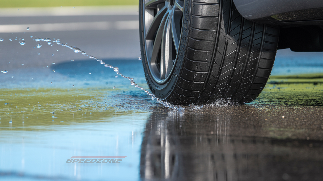
Around the world, roads are old and deteriorating, and the cost to maintain and repair them is steep — in the US alone, it could cost up to $1 trillion. Today, many road authorities rely on outdated, expensive practices to monitor the condition of their roads such as survey vehicles, patrols, or ‘manual’ citizen alerts. Many do not have the measures in place to keep their roads monitored at an adequate frequency to support adaptive maintenance, which leads to even larger, longer, more costly repairs. Tactile Mobility’s tactile sensing and data technology enables authorities to generate real-time tactile data, which provide unmatched insights about road safety and allow optimized preventative maintenance planning and ad-hoc corrective maintenance.
“Our vision is for a safer, more efficient and enjoyable driving experience on roads everywhere, all the time,” said Shahar Bin-Nun, CEO of Tactile Mobility. “This project marks the first time that road authorities across an entire country will receive real-time accurate mapping of pavement condition, infrastructure and road risks, enabling them to effectively minimize hazards. We look forward to rolling out this affordable, in-vehicle solution to ensure other entire countries can benefit from our solution.”
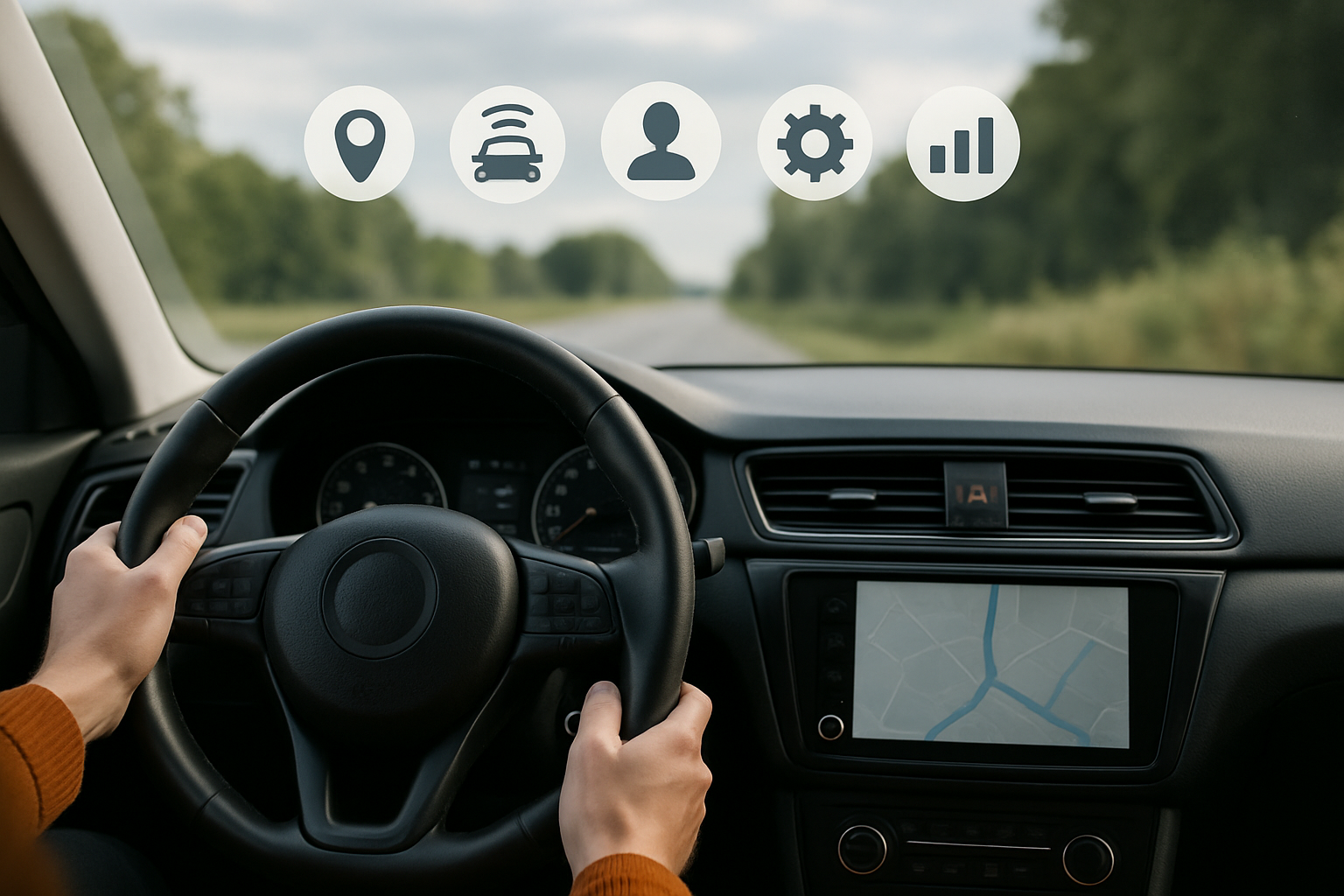
Tactile Mobility is a world leader in software-based tactile sensing and data solutions. The solutions are comprised of an in-vehicle module residing on one of the vehicle’s computers and the cloud-based system. This system generates insights which are transformed into SurfaceDNA™, measuring vehicle-road dynamics with an emphasis on characterizing road attributes such as grades, banks, curvatures, and conditions such as slipperiness, and locations and severity of distresses and hazards. The software serves as a mapping engine that offers a near real-time view of the road network to support maintenance, live hazard detection, and post-accident analysis.
“Union Motors is committed to improving the driver and passenger safety, ride quality and overall experience, and we are excited to launch this first-of-its-kind project,” said Ran Danai, CEO at Union Automotive Group. “Our vehicles, embedded with Tactile Mobility’s in-vehicle software, will equip road authorities across Israel with road insights needed to mitigate safety risks and conduct responsive and preventative road maintenance, ultimately ensuring safer roads for their citizens. Union Group is proud to be a part of the innovative auto tech activity in Israel and help the local start-ups to move forward their technologies.”
SurfaceDNA insights are visualized in the form of comprehensive, user interface (UI), crowdsourced tactile maps that offer a real-time view of driving environments. The maps can be used by control rooms, highway authorities, public works departments, and other city divisions to identify and respond to the level of grip on the roads, road distresses and hazards, and view pavement conditions. Tactile Mobility also provides retrospective grip maps which give access to all the accumulated data in the system over time, enabling evaluation of road behaviors across different weather scenarios; with access to these maps, authorities can find and analyze hot spots which create risks for drivers and subsequently take the appropriate action.
Originally posted in: https://finance.yahoo.com


